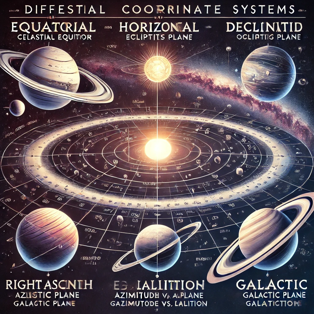
Celestial coordinate systems are used in astronomy to map the positions of celestial objects, such as stars, planets, and galaxies, onto an imaginary celestial sphere surrounding Earth. These systems provide a framework for precisely locating objects in the sky, much like latitude and longitude are used to map locations on Earth.
Astronomers use different celestial coordinate systems depending on their observational needs, with each system defined by a set of reference points and planes, such as the celestial equator, the ecliptic, and the observer’s horizon.
Types of Celestial Coordinate Systems
1. Equatorial Coordinate System
The most widely used system in astronomy, based on Earth’s equator and poles projected onto the celestial sphere.
- Reference Points: Celestial equator and vernal equinox.
- Coordinates:
- Right Ascension (RA): Analogous to Earth’s longitude, measured in hours (0 to 24 hours).
- Declination (Dec): Analogous to Earth’s latitude, measured in degrees (+90° to -90°).
- Advantages:
- Fixed relative to distant stars.
- Suitable for star maps and telescopic observations.
- Common Usage:
- Deep-sky object cataloging (e.g., Messier and NGC catalogs).
- Planetary tracking.
2. Horizontal (Azimuthal) Coordinate System
A local coordinate system based on an observer’s specific location on Earth.
- Reference Points: Observer’s horizon and zenith.
- Coordinates:
- Azimuth: The direction along the horizon (0° to 360°), measured clockwise from the north.
- Altitude (Elevation): The height above the horizon (0° to +90°).
- Advantages:
- Easy to understand and use for amateur stargazing.
- Directly related to an observer’s real-time view.
- Disadvantages:
- Objects appear to change position due to Earth’s rotation.
- Common Usage:
- Observing planets, the Moon, and transient celestial events like meteor showers.
3. Ecliptic Coordinate System
A system based on the apparent path of the Sun across the sky, known as the ecliptic.
- Reference Points: The Sun’s position and the ecliptic plane.
- Coordinates:
- Ecliptic Longitude: Measured along the ecliptic plane from the vernal equinox (0° to 360°).
- Ecliptic Latitude: Measured perpendicular to the ecliptic plane (−90° to +90°).
- Advantages:
- Useful for studying planetary orbits and zodiac constellations.
- Stable with respect to the Sun and planets.
- Common Usage:
- Astrological charts.
- Predicting solar and lunar eclipses.
4. Galactic Coordinate System
A system centered on the Milky Way galaxy, used for mapping celestial objects relative to our galaxy’s plane.
- Reference Points: Galactic center (located in the constellation Sagittarius) and the galactic plane.
- Coordinates:
- Galactic Longitude (l): Measured around the galactic plane (0° to 360°).
- Galactic Latitude (b): Measured above or below the galactic plane (−90° to +90°).
- Advantages:
- Ideal for studying galactic structure and movement.
- Provides a clear perspective of the Milky Way’s orientation.
- Common Usage:
- Mapping star clusters, nebulae, and galactic arms.
5. Supergalactic Coordinate System
A coordinate system based on the orientation of large-scale cosmic structures, such as galaxy clusters and superclusters.
- Reference Points: Supergalactic equator and center.
- Coordinates:
- Supergalactic Longitude: Measured around the supergalactic plane.
- Supergalactic Latitude: Measured perpendicular to the plane.
- Advantages:
- Useful for studying large-scale cosmic structures.
- Helps in understanding the distribution of galaxies.
- Common Usage:
- Cosmic mapping and extragalactic studies.
Key Concepts in Celestial Coordinate Systems
- Celestial Sphere:
- An imaginary sphere surrounding Earth, with celestial objects appearing to lie on its surface.
- Assumes Earth is the center for observational convenience.
- Celestial Poles and Equator:
- The celestial poles are projections of Earth’s north and south poles.
- The celestial equator is an extension of Earth’s equator onto the celestial sphere.
- Precession:
- Earth’s axial tilt slowly shifts over time, causing celestial coordinates to change over thousands of years.
- Astronomers use epoch updates (e.g., J2000.0) to standardize observations.
- Meridian:
- An imaginary line passing from the observer’s north to south point, crossing the zenith.
- Used to determine when a celestial object reaches its highest point in the sky.
- Declination vs. Altitude:
- Declination is a fixed celestial coordinate, while altitude changes with the observer’s position and time.
Practical Applications of Celestial Coordinate Systems
- Telescope Alignment:
- Equatorial mount telescopes use right ascension and declination for tracking celestial objects.
- Alt-azimuth mounts rely on azimuth and altitude for simpler navigation.
- Astrophotography:
- Accurate celestial coordinates help photographers capture deep-sky objects.
- Software tools use equatorial coordinates to guide telescopes automatically.
- Celestial Navigation:
- Used in maritime and air navigation for centuries.
- Observing bright stars like Polaris allows sailors to determine latitude.
- Astronomical Databases:
- Professional astronomers use coordinate systems to catalog and track celestial objects in databases like SIMBAD and NASA’s Exoplanet Archive.
Comparison of Celestial Coordinate Systems
| System | Best Used For | Reference Point | Advantages |
|---|---|---|---|
| Equatorial | Deep-sky observations | Celestial equator | Fixed coordinates, ideal for telescopes |
| Horizontal | Local observations | Observer’s horizon | Easy to use, local perspective |
| Ecliptic | Planetary positions | Sun’s path (ecliptic) | Useful for solar system studies |
| Galactic | Galactic mapping | Milky Way’s plane | Ideal for studying Milky Way structure |
| Supergalactic | Cosmic structure analysis | Supergalactic plane | Studies large-scale universe structure |
Interesting Facts About Celestial Coordinate Systems
- Polaris (North Star) is nearly aligned with the Earth’s North Celestial Pole, making it a crucial navigational aid.
- The celestial equator is tilted relative to the ecliptic by 23.5 degrees, the same as Earth’s axial tilt.
- The ancient Greeks were among the first to develop a coordinate system based on star positions, influencing modern astronomy.
Conclusion
Celestial coordinate systems provide essential tools for mapping and understanding the night sky. Whether for casual stargazing, professional astronomy, or navigation, these systems help pinpoint celestial objects with precision. By choosing the right coordinate system for the task, astronomers can enhance their observations and deepen their exploration of the universe.

